Daraa, Syria
Five Photographs
Daraa Was a Junction Before It Was Anything Else
The Hejaz Railway made the town a place where two directions met. A century later a 400 kV line crosses the same ground, for the same reason.
By The Bayt Syria memory desk
12 November 2020
1 min read
Daraa
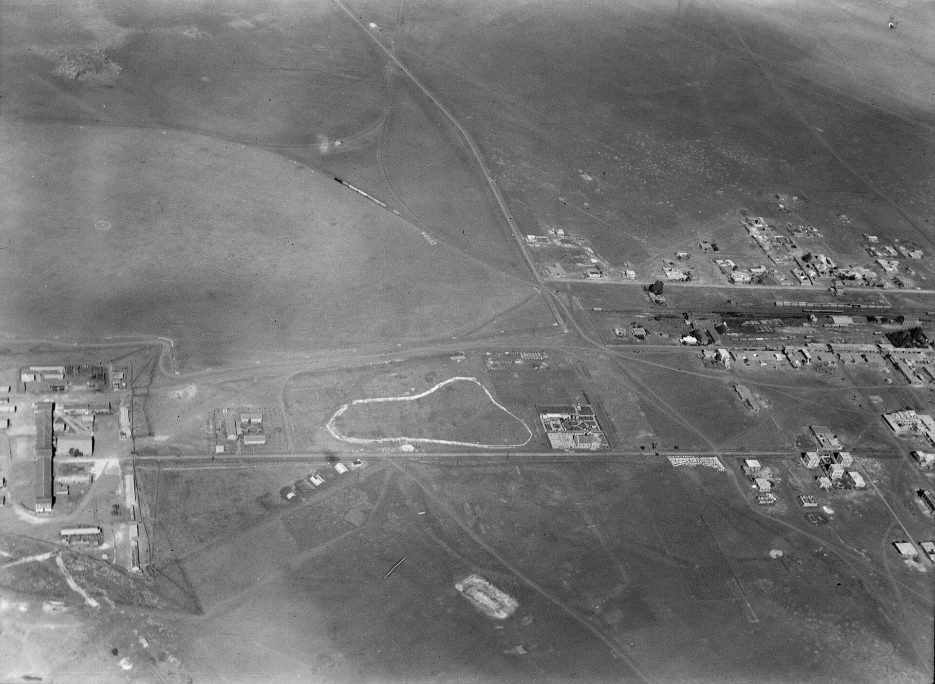
Geography decided this a long time ago, and every generation since has rediscovered it and thought the decision was theirs.
The Hauran is open, relatively level and lies between places that need to be connected to each other. Anything that has to get from the interior towards the south has to cross it, and things that cross the same ground for the same reasons end up in the same corridor.
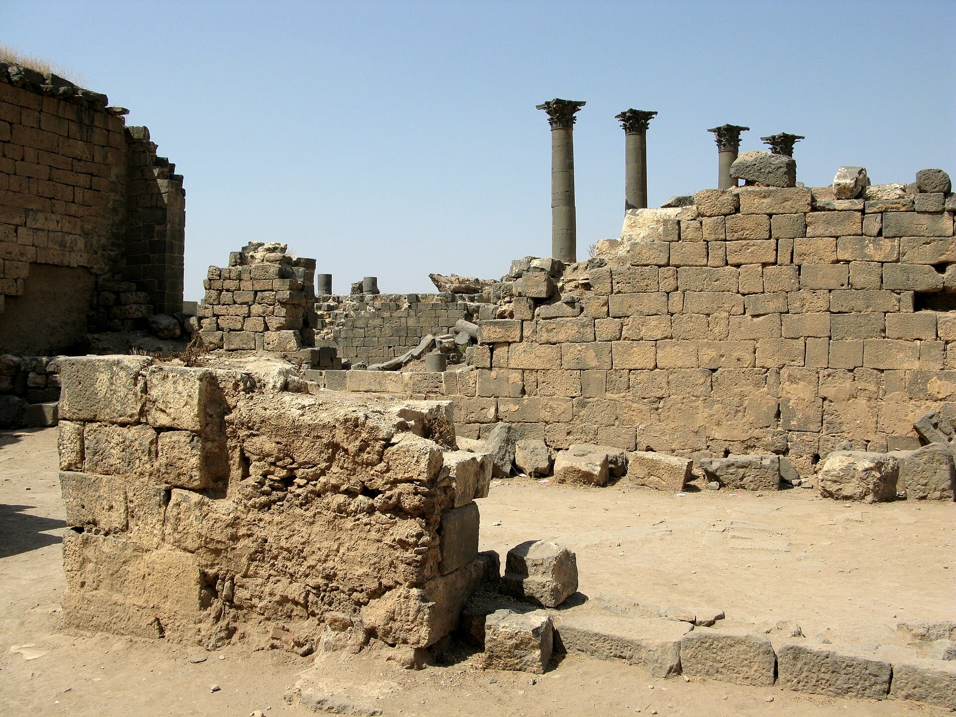
The railway junction is the clearest case. It was not put there because Daraa was important; Daraa became important because the junction was put there, and a junction is put where the land allows.
Infrastructure follows the ground. Towns follow the infrastructure. Then everyone agrees the town was always going to be there.
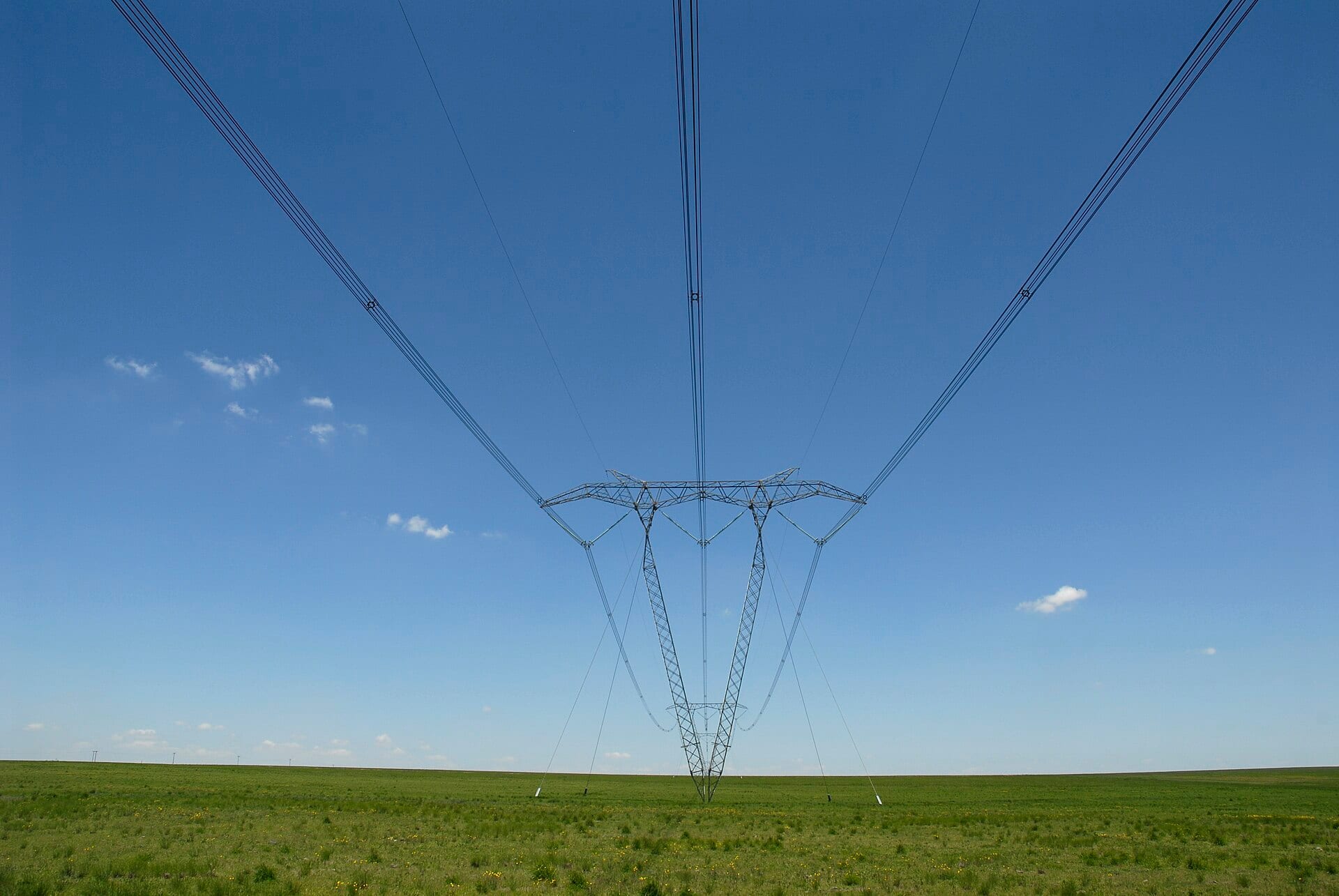
The 400 kV transmission line completed this year runs across the same governorate for reasons that would have been legible to a railway surveyor in 1900: the route is long, the ground is workable, and the two ends need joining.
What has changed is what travels. Basalt, then grain, then passengers, then freight, and now — on 321 steel towers — electricity, and the fibre that tells the grid what the electricity is doing.
Photographs
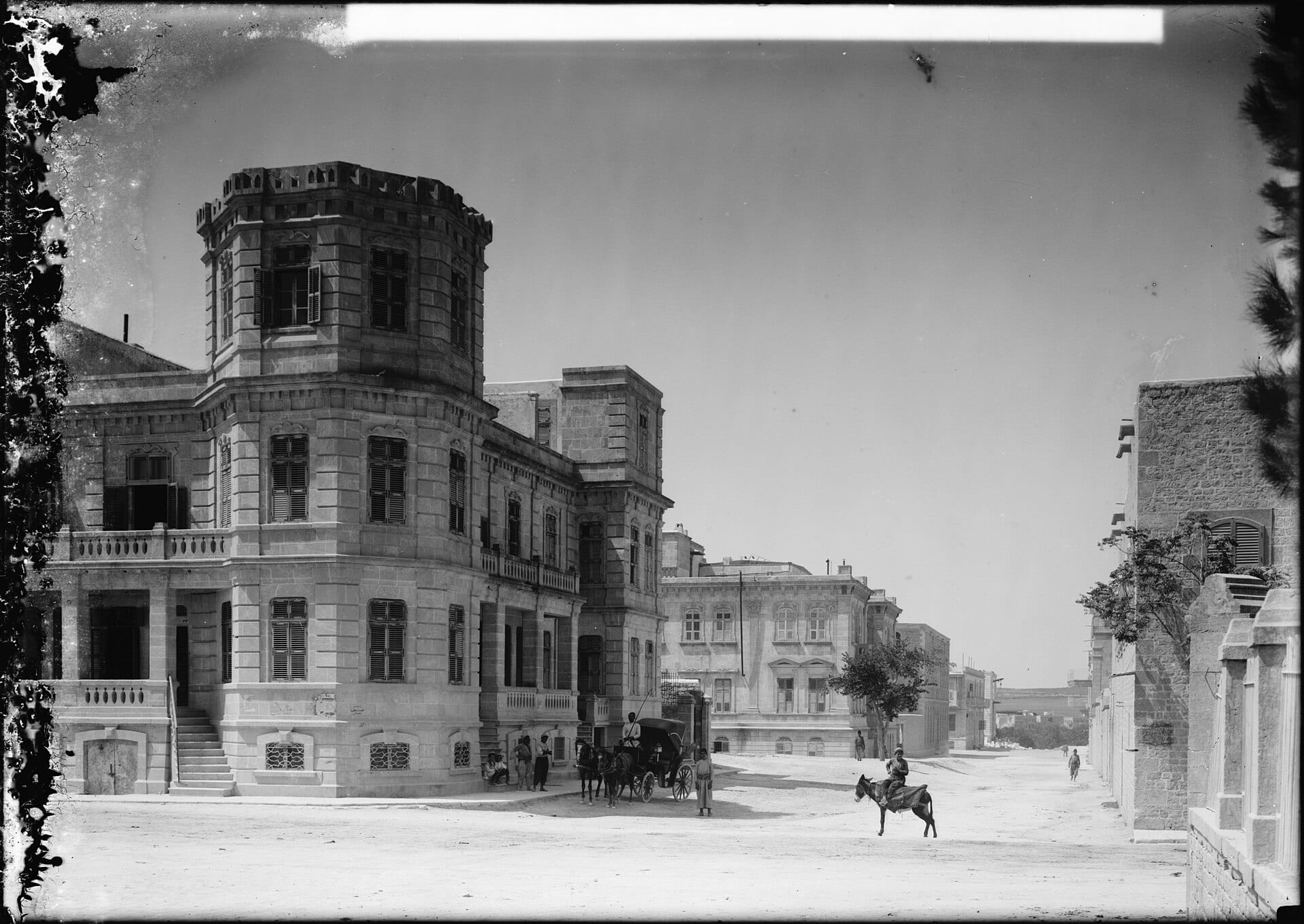
._Daraa._A_Hedjaz_R.R._(i.e.,_Railroad)_junction_in_Gilead_LOC_matpc.15962.jpg)

More from Daraa
Related stories
Rural Damascus — Daraa, Syria
The Route Was Built 321 Times
A 400 kV line across southern Syria looks like one continuous corridor. It began as hundreds of separate holes in the ground, each needing its own road, its own foundation and its own proof.
18 February 2021
Objects We Carried
Nobody Packs the Photographs
Asked what they took, people name the useful thing and then, after a pause, the other one. It is almost never what an outsider would guess.
10 December 2020
Aleppo, Syria
The Photographs Where Nobody Is Smiling
A family box from Aleppo, sorted for the first time in forty years. The formal portraits tell you almost nothing. The three accidents tell you everything.
26 November 2020